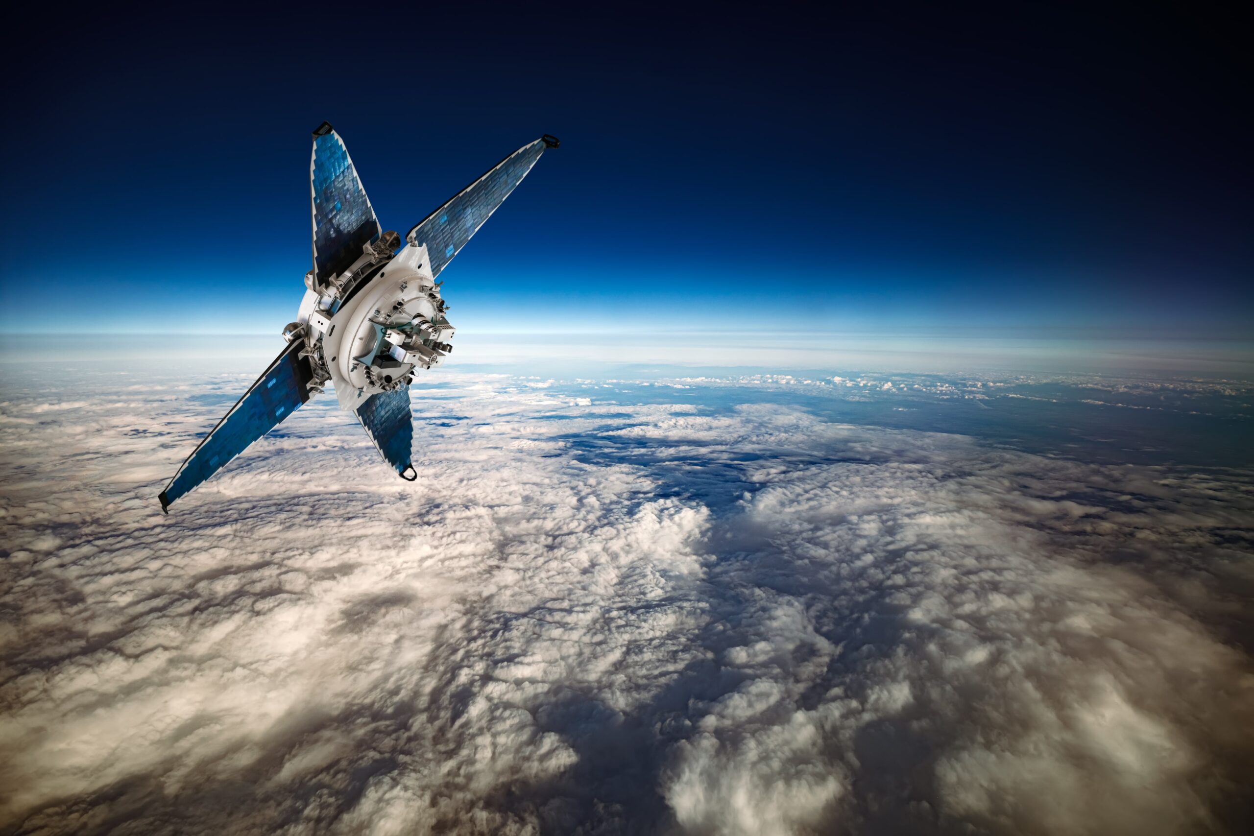
Who would have thought that our discoveries in space would help us better understand what is on our planet? One of the largest advancements to understanding our environment and the planet’s four spheres (atmosphere, biosphere, hydrosphere, and lithosphere) came from the introduction and use of satellite imagery and remote sensing. There are currently over 6,000 satellites orbiting Earth, almost all of which have produced information that we could not have discovered without their advanced bird’s eye views. Let’s take a look at what satellite imagery has done for science.
To the naked eye, humans can only see a fraction of the electromagnetic (EM) spectrum or a portion of the light that is on and around the earth. Light travels in wavelengths (measured in nanometers), the same way different sounds travel through different vibration frequencies. We can see colours (380 to 780nm), but we can’t see infrared rays (1000nm), UV rays (100nm), or x-rays (1nm). Our eyes are only capable of registering light within a certain wavelength range. Satellite technology is capable of capturing heat and light images across the entire EM spectrum. These images can tell us specific information about minerals in the soil, the density of forests, and different types of land use.
Computer-engineered satellites are also often programmed to a very specific route and speed throughout their orbits. Most satellites are even programmed to fly over the same coordinates at the exact same time every single day. Over time, with images of the same spot on Earth, scientists can see changes in landscape and temperatures. This can be extremely helpful in seeing patterns and changes across our landscapes. One very famous example of this is deforestation patterns. We can monitor how much of our landscapes are damaged or destroyed by the forestry industry and can use this information to make presentations at climate change events and to federal leaders who can make the necessary limiting regulations.
The more information we have on places around the world, the easier we will be able to make educated predictions on future weather events or how the planet will react to natural or human disasters. Meteorology is just one example of satellite imagery that we use every single day. We can see current weather conditions, and will also be informed of severe weather or storms that will come in the future. With these predictions, we can be much more prepared for severe weather events – we know when to board up our houses before a flood or rain storm, and we know when to invest in generators or extra firewood when there’s a snow storm that might cause power outages.
Satellites are phenomenal and will continue to provide us with a better understanding of our planet. In the next few years, over 9,000 satellites are projected to join the orbit around Earth. Our planet is so complex, and there are infinite things to learn about it. The better we understand our planet, the easier it will be to protect it.


